
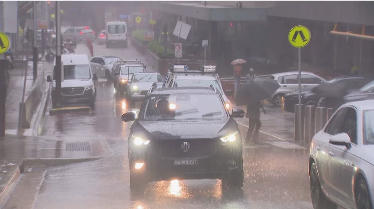
Unseasonably wet weather has drenched large parts of New South Wales, turning Sydney’s CBD into a river and pushing the city past its annual rainfall average, with more than four months still left in the year. Authorities warn the deluge is not yet over, with more heavy rain forecast over the next 24 hours that could bring flooding, road closures, and hazardous driving conditions along the east coast, according to the report by 9News . 9News also reports that Sydney has already recorded its wettest August in 27 years, with 262.8 millimetres of rain falling this month as of 9 a.m. yesterday,
Unseasonably wet weather has drenched large parts of New South Wales, turning Sydney’s CBD into a river and pushing the city past its annual rainfall average, with more than four months still left in the year. Authorities warn the deluge is not yet over, with more heavy rain forecast over the next 24 hours that could bring flooding, road closures, and hazardous driving conditions along the east coast, according to the report by
9News
.
9News
also reports that Sydney has already recorded its wettest August in 27 years, with 262.8 millimetres of rain falling this month as of 9 a.m. yesterday, well above the city’s usual August average of 79.9mm. While the worst of the downpour may have passed, rain is expected to persist tomorrow before easing by Saturday. Significant falls of more than 80mm are forecast in northern and central coastal regions, the Northern Ranges, North West Slopes and Plains, and the Upper Central West, with isolated totals of up to 100mm possible. The NSW State Emergency Service (SES) has responded to more than 400 incidents so far, including six flood rescues. Assistant Commissioner Colin Malone urged commuters to take extra care. “As we head into the afternoon commute please use caution. There is a lot of water on the roads causing access issues,” Malone said. “We implore the community to never drive, walk or play in floodwater, if you come across a flooded road, turn around and find an alternative route. We have crews prepositioned and ready to respond to any rescues, but we ask the community to please avoid unnecessary travel.” At present, 33 SES warnings remain in place for communities stretching from Wollongong in NSW to Goondiwindi in Queensland. Residents in Calala and Gunnedah have been told to prepare to isolate as rising waters threaten access.
Flood Rescues Across the State
Floodwaters triggered a series of rescues overnight and into Thursday. Early this morning, a man and his dog were saved after attempting to cross the flooded Douglas Park Causeway in Wollondilly, southwest of Sydney. Emergency crews including NSW SES, Fire and Rescue, RFS, police, and ambulance officers, carried out the dramatic rescue, captured on camera. Crews secured a rope across the swollen causeway, enabling a single SES officer to reach the stranded vehicle and bring the man and his dog to safety. Later, another man was pulled from a trapped vehicle in the same area.
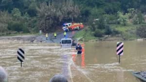
A man and his dog were rescued from flood in Wollondilly, south-west of Sydney (File: 9News)
Elsewhere, three people were rescued after driving into the McDonald River near St Albans at around 11 p.m. last night. Additional rescues took place today at Albion Park, Ourimbah, and Hawks Nest as torrential rain persisted. Eastern NSW and southeast Queensland have already seen days of consistent rainfall, adding to the totals for what has become one of the soggiest Augusts on record.
Why It’s So Wet
Meteorologists say the ongoing downpour is being driven by a combination of above-average sea surface temperatures and a slow-moving high-pressure system over the Tasman Sea, which has dragged moist air towards the NSW coast. “On Thursday, a coastal trough just off the NSW coast will clash with an inland trough and upper cold pool that’s been lingering over inland northern NSW,” Weatherzone meteorologist Joel Pippard told the website. “With the high levels of converging air over the coast and Great Dividing Range, and much warmer sea surface temperatures for this time of year, thunderstorms with intense rainfall are possible.”



Comments
No comments yet. Be the first to share a thought.